LiDAR and 3D Scanning
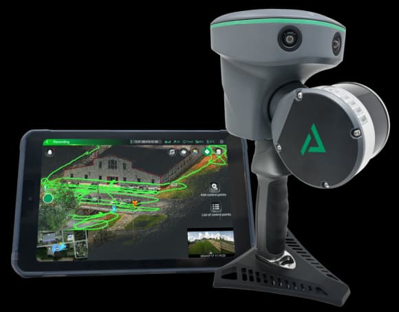
Three-dimensional surveying of buildings, facilities and engineering structures through the production of dense point clouds and measurable digital models.
Typical Applications
An Integrated Technical Approach
Definition of Project Requirements
We assess the purpose of the project, required accuracy, site area, field conditions and the preferred format of the final deliverables.
Data Collection
We select the most suitable combination of ground surveying, GNSS, LiDAR, drone mapping and existing technical data.
Processing and Quality Control
The collected data are checked, organised and converted into technically usable information.
Delivery and Technical Support
We provide the agreed files and clearly explain their structure, accuracy and potential applications.
Do You Have a Project Requiring Accurate Surveying or Technical Assessment?
Send us the location, approximate project area, intended purpose and any available drawings or files. We will recommend the appropriate methodology and required deliverables.
Request a Proposal