Drone Mapping and Photogrammetry
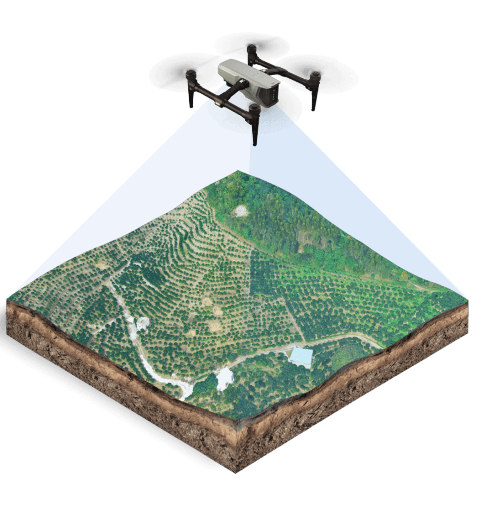
Aerial surveys using drones for the rapid and comprehensive mapping of land, construction sites, quarries, buildings and technical infrastructure.
Typical Applications
Aerial data can be combined with ground-based GNSS measurements and ground control points where higher geometric accuracy is required.
An Integrated Technical Approach
Definition of Project Requirements
We assess the purpose of the project, required accuracy, site area, field conditions and the preferred format of the final deliverables.
Data Collection
We select the most suitable combination of ground surveying, GNSS, LiDAR, drone mapping and existing technical data.
Processing and Quality Control
The collected data are checked, organised and converted into technically usable information.
Delivery and Technical Support
We provide the agreed files and clearly explain their structure, accuracy and potential applications.
Do You Have a Project Requiring Accurate Surveying or Technical Assessment?
Send us the location, approximate project area, intended purpose and any available drawings or files. We will recommend the appropriate methodology and required deliverables.
Request a Proposal